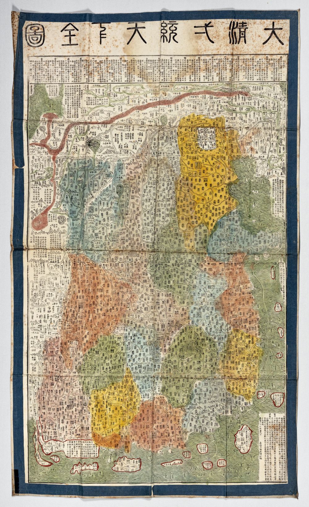
Maps have played an important role in the history of mankind. Recent research has shown that prehistoric man was capable of drawing them, and archaeological excavations in China between 1970 and 1980 unearthed maps dating back to the4th century BC. A study of ancient Chinese cartography, published by Édouard Chavannes in 1903, will serve as a guide to follow its evolution up to the dawn of the Republican era (1912). Maps discovered in tombs or found in various localities in China have greatly enriched the history of Chinese cartography and complement Chavannes' work.
Published on 14 October 2025
News
Chinese cartography through the eyes of Édouard Chavannes